
This product is an add-on scenery for Microsoft Flight Simulator 2000 (FS2000), Microsoft Flight Simulator 2002 (FS2002), and Microsoft Flight Simulator 2004 (FS2004).
Introduction
Because it is possible to make detail terrain mesh scenery of all of Japan by converting GSI's digital map data using Mr.Murakami's tool and terrain SDK by Microsoft, we have provided All Japan Terrain Scenery Detail Version. But the original digital map data does not include Japanese Northern Territories (Japanese Northern Territories consist of 4 islands: Kunashiri, Etorofu, Habomai, and Shikotan islands. These islands are not included so called "Kuril Islands" in political meaning.).
By the way, there are raster image digital maps in GSI's products. We make MEM format files from contour data of "Digital Map 200000 (Map Image)" by hand, and make terrain mesh scenery of Japanese Northern Territories by resampling it using Mr. Murakami's tool. We sell it by online now.
Because we are making it completely by hand, there are following weak points in our MEM files and this scenery comparing to original GSI's MEM file; we declare.
| 1. | Accuracy of elevation data is around 100 m with averaging, because accuracy of a contour of original data is aroung 100 m. |
| 2. | With averaging, resolution of elevation is 10 m, but it is worse than MEM files of GSI original (it is 1 m). |
| 3. | Adjustment is done for avoiding stair shape with too less averaging, and for avoiding lose fineness with too much averaging. |
| 4. | There are some parts with line or stair at the edge of MEM file, because of hand-made operation. |
There are some parts with gap between data and beach line. This is because FS2002 engine reads beach line data from the other bgl file. This is the phenomenon not only Northern territories but also all over the world.
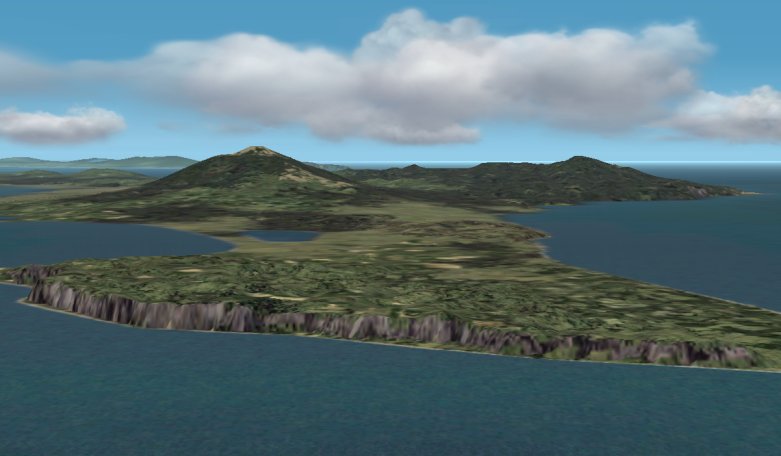
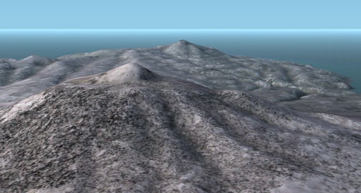
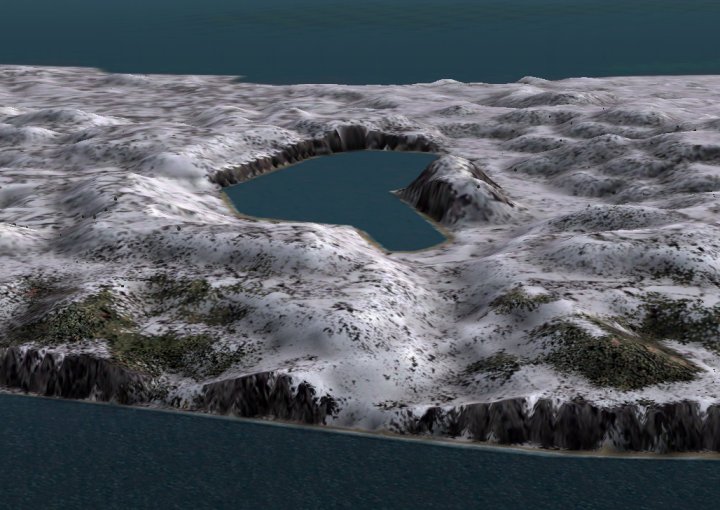
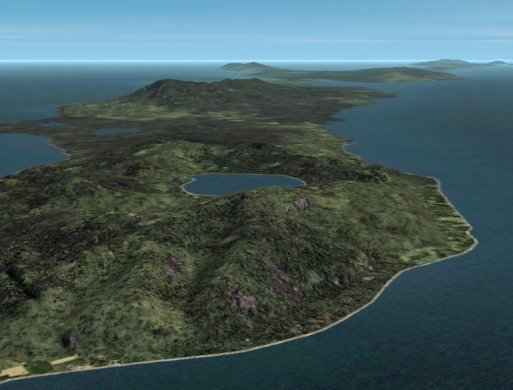
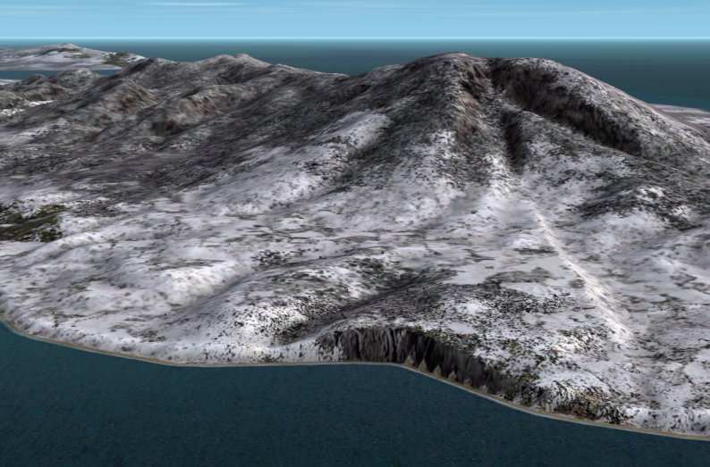
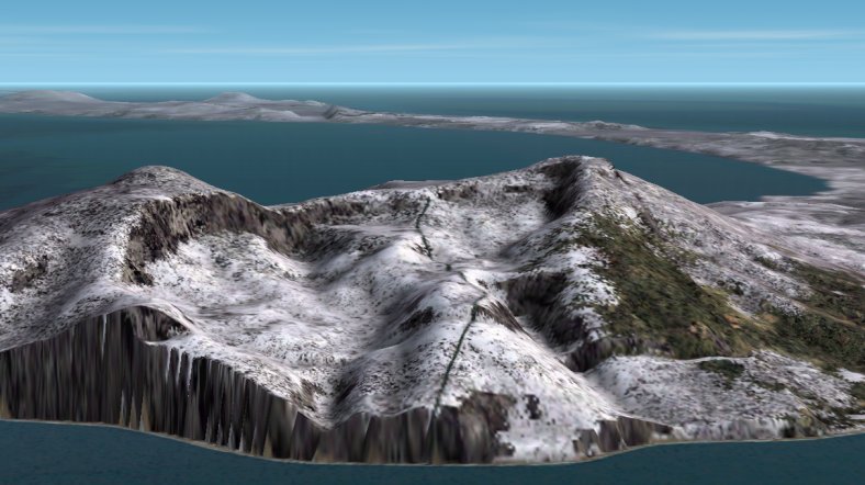
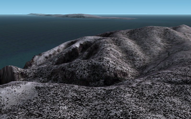
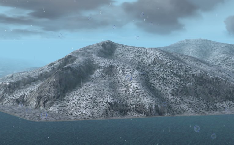
Photo Gallery
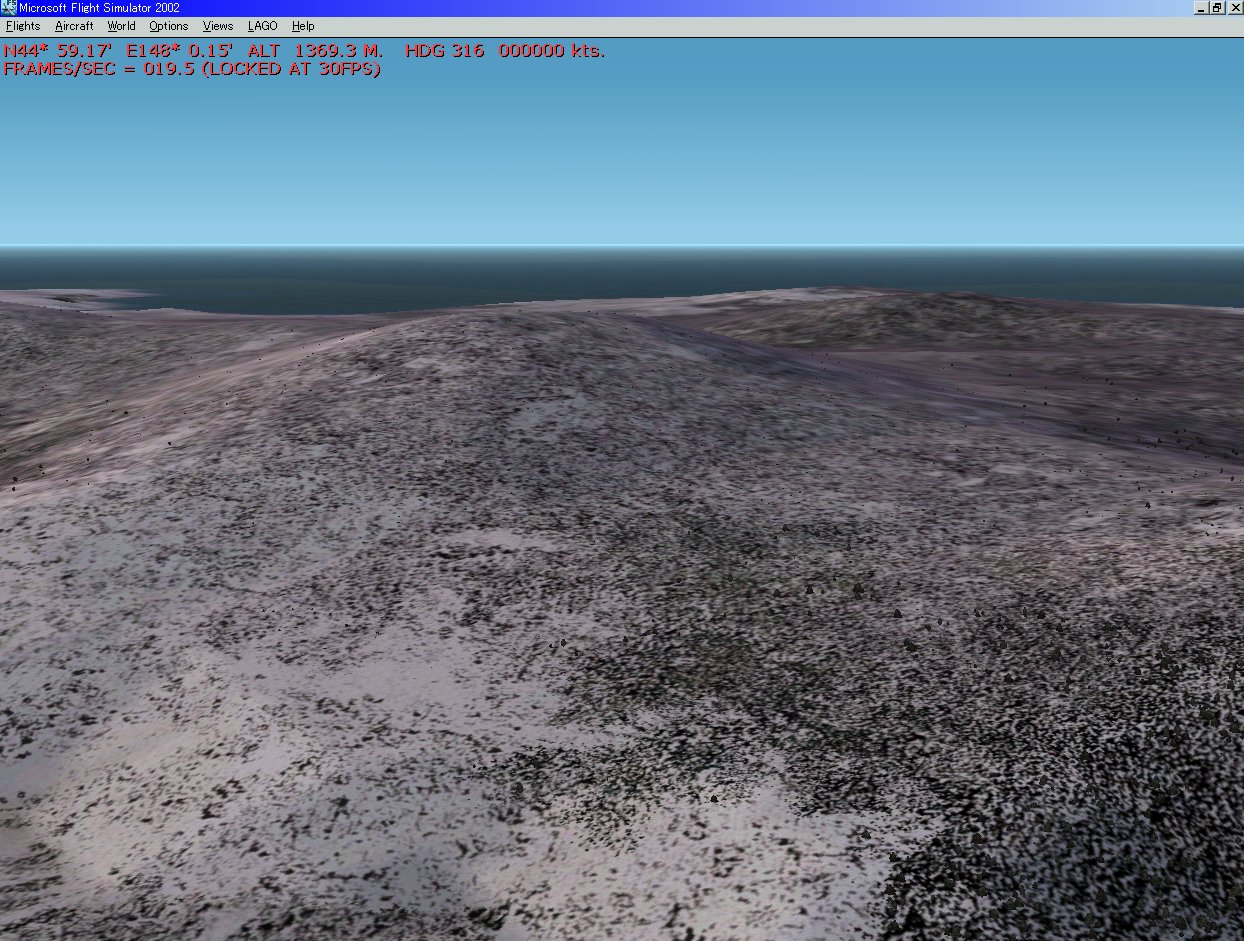
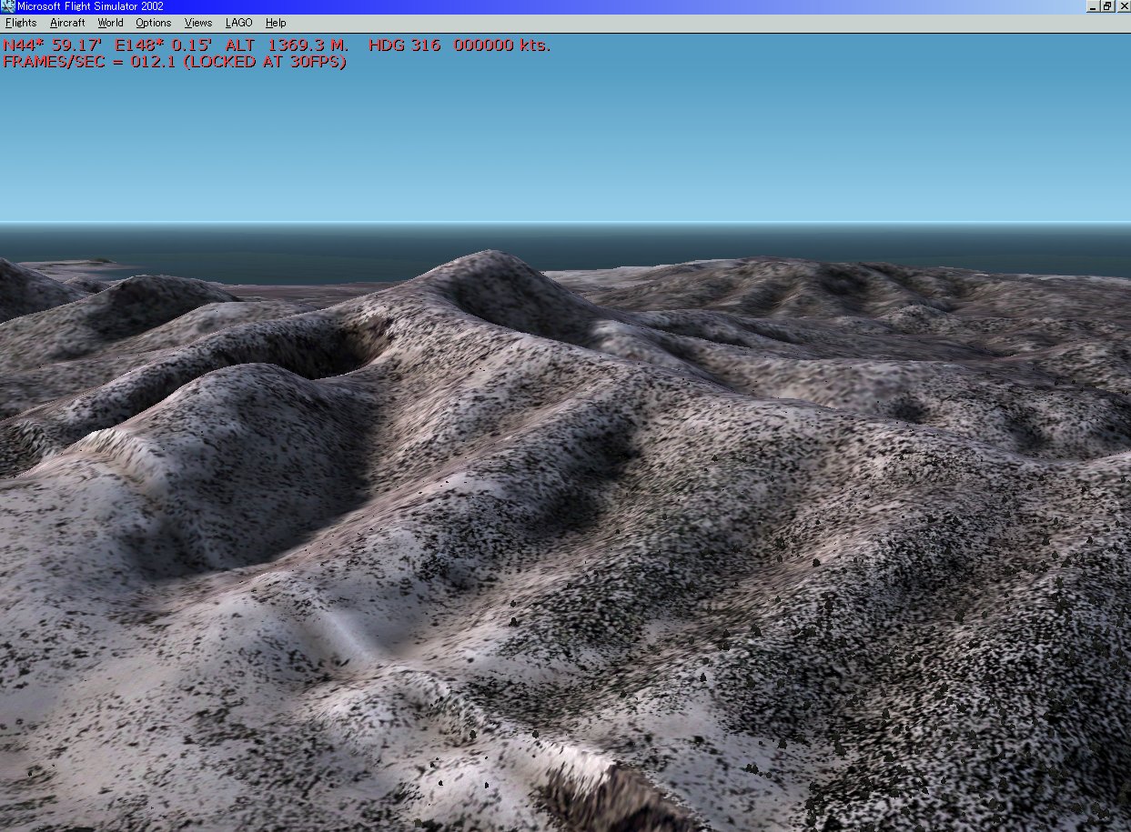
Watching photos is the easiest way to understand our product. First, a comparison between Microsoft default scenery and our scenery at Mt. Eboshi in Etorofu island. It is no need to explain about detail expression of it.
 |
 |
You can see and get the photo and bgl file of Shikotan island from HERE freely. Please visit.
Japanese Northern Territories Terrain Scenery Detail Version ver 1.0
Japanese Northern Territories Terrain Scenery Detail Version ver 1.0 is able to be used in FS2000, FS2002, and FS2004 as mentioned before.
The sampling rate of the high resolution part of this scenery is 38 m (LOD = 10), so it is possible to utilize completely the data of original MEM file (50 m mesh). Further, it contains also the middle resolution (sampling rate is 76 m, LOD = 9), and the low resolution (sampling rate is 153 m, LOD = 8) data. In FS2002, the lower resolution data can be seen from the longer distance. Therefore, the best condition is get from the short and long distance view both, by registering scenery library both e.g. high and low resolution data.
How to buy
Using credit card
Please click HERE, and you can buy it using credit card. After completion of the procedure, we will send your ID and password by e-mail, so we think this is the fastest way. Thank you very much.
Using cash or check
Please click HERE and mail to us. And we will send a reply. Thank you.
This scenery gets an approval from GSI for release.
(Approval number : Hei 14 Sou-Shi #343 )
We appreciate very much to Mr. Murakami who developed valuable tool.
If you want to contact us about this product, plese click HERE.